During our trip to South America we spent more than two months in Patagonia, always in search for the next hike. We found some amazing, almost untouched routes, got so close to the wildlife and met many like-minded travellers. But we were also challenged by the cold weather and the level of difficulty of some of the hikes. Sadly, we even had to skip some of the hikes due to snow.
This post provides an overview of the trekking opportunities in Patagonia. It includes the hikes we did and the ones we would have loved to do, providing some detail of the treks in terms of duration, difficulty and recommendations. For more info, just read our posts about the individual treks.
What we did – south to north
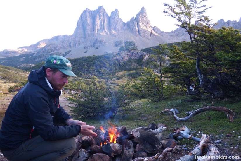
Isla Navarino
Duration : 6-7 days
Accommodation: Wild camping
Start / End point: Puerto Williams, round walk
Number of hikers met per day: 5
Accessibility: It’s quite expensive to get to the island, either by plane or by boat from Ushuaia or Punta Arenas.
Difficulty: Good waymarking on the Dientes Circuit, less so on walk to Lago Windhond, some very steep parts, tough wind
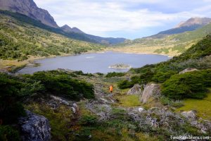
Highlight: Fishing at Lago Windhond
Cabo Froward
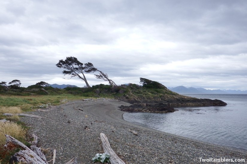
Duration : 5 days (don’t attempt to make it in 4)
Accommodation: Wild camping
Start / End point: San Juan (70 km south of Punta Arenas), walk to the cape and back on the same route
Number of hikers met per day: 5
Accessibility: Easy access by bus from Punta Arenas, possible to hitchhike
Difficulty: Waymarking gets worse the closer you get to Cabo Froward, a lot of climbing over cliffs and through forests; some river crossings so keep track of the tides
Highlight: Watching the snowy mountains at the horizon.
Torres del Paine
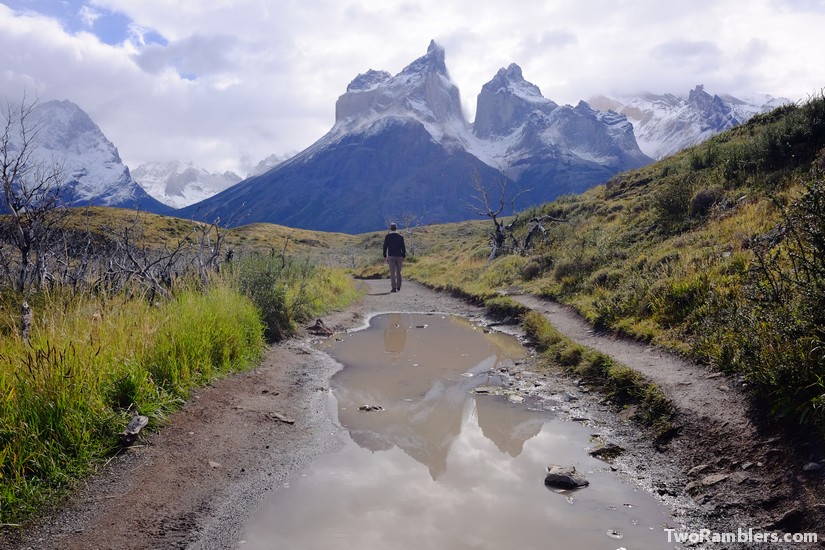
Duration : W trek – 4 days; O – trek 8 days, our route we called the Y trek – 3 days
Accommodation: camp sites or hostels
Start / End point: Access national park via Puerto Natales
Number of hikers met per day: 150 on the W trek
Accessibility: Bus or hitchhike from Puerto Natales, park entry and boats for transport within the park are expensive
Difficulty: W and Y are easy routes, O is more challenging, very well indicated
Highlight: Clouds around the Torres mountains
El Chalten
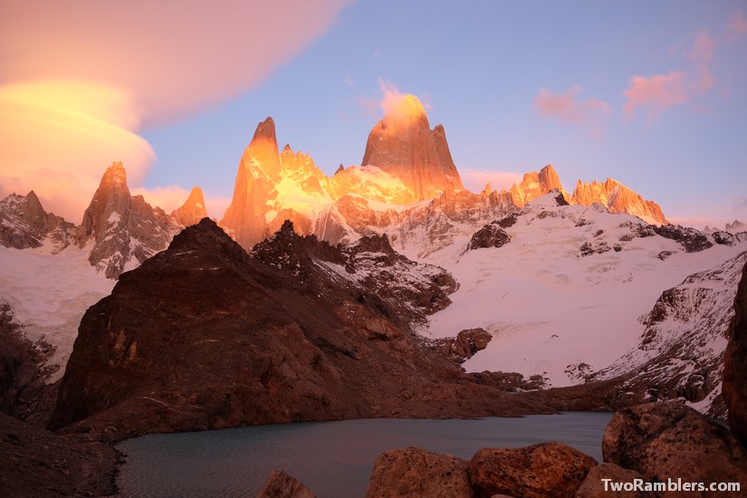
Duration : 3-4 days
Accommodation: Wild camping or day hikes from El Chalten
Start / End point: El Chalten, round walk
Number of hikers met per day: 50
Accessibility: Easy walk out of El Chalten
Difficulty: Routes are very well indicated, mostly flat, take account of Patagonian winds.
Highlight: Mount Fitz Roy at sunrise
Rio Puelo – border crossing from Argentina to Chile
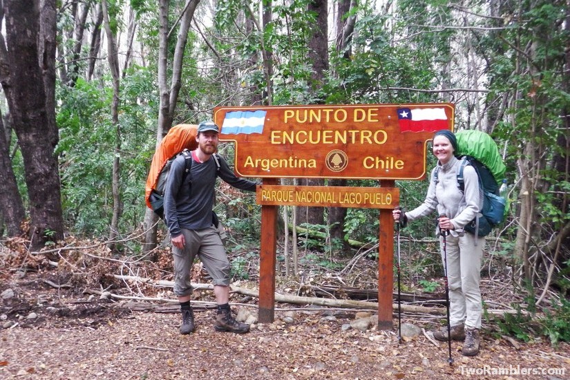
Duration : 3 days
Accommodation: Wild camping and campsites
Start / End point: From Lago Puelo in Argentina to Segundo Corral in Chile
Number of hikers met per day: 0
Accessibility: Regular busses from El Bolson to Lago Puelo, busses from Segundo Corral much more rare
Difficulty: Good waymarking until Argentinian border, then more difficult, some tiny bridges to cross
Highlight: The Chilean border guards who call you a ferry
El Bolson
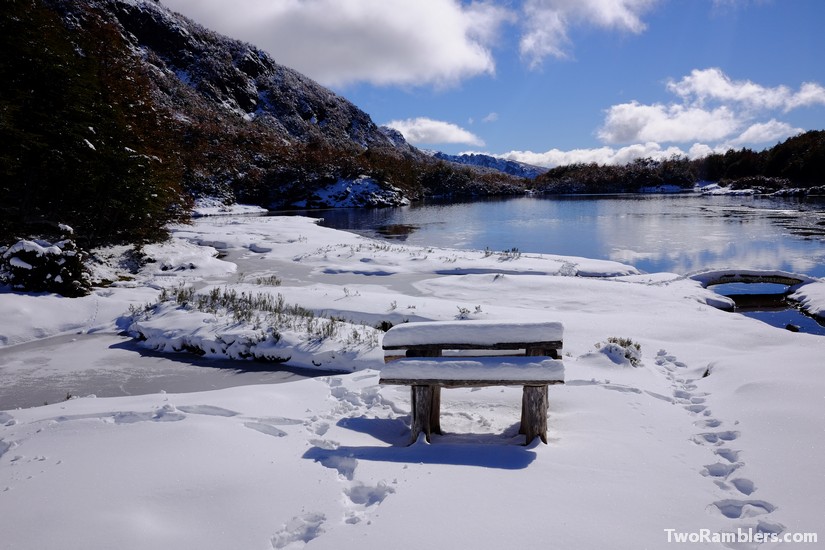
Duration : 3-5 days
Accommodation: Campsites and manned mountain huts
Start / End point: From El Bolson to Warton
Number of hikers met per day: 5 (probably a lot busier in summer)
Accessibility: A bit of a walk out of El Bolson to reach start of a hike, probably need a taxi back to El Bolson from Warton
Difficulty: Good waymarking, mostly easy, steep part down from Hielo Azul
Highlight: Cosiness of the mountain huts
What we skipped
Cerro Castillo
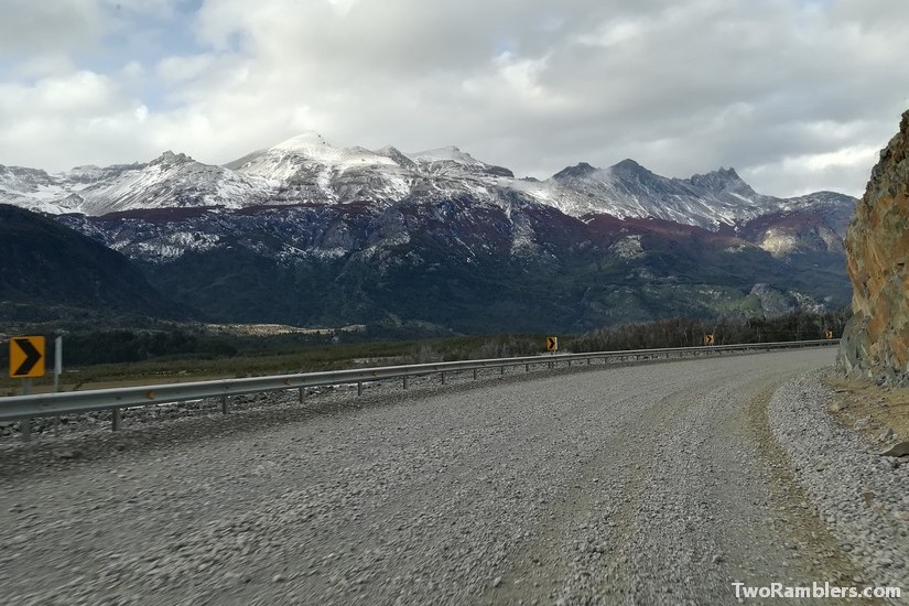
Duration: 4 days
Accommodation: Wild camping, mountain huts
Start/ End point: Town Cerro Castillo, round walk
Accessibility: The town Cerro Castillo can be reached by bus but it’s a long trip
What we had hoped for: Autumn colours in the mountains
Why we had to skip the hike: Too much snow
Cochamó valley and Rio Manso
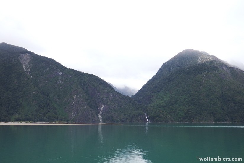
Duration: 5-6 days
Accommodation: Campsites and wild camping
Start/ End point: From Cochamó to El Manso
Accessibility: Bus, taxi to Quila. From El Manso to Cochamo with buses and ferry.
What we had hoped for: Tiny villages with no road running to them
Why we had to skip the hike: Forecast predicted -8°C
Parque Huerquehue
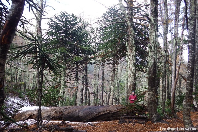
Duration: 4 days
Accommodation: wild camping
Start/ End point: Park entry north of Pucon, possibility to leave park further to the north or do a round walk
Accessibility: By bus from Pucon
What we had hoped for: A bath in the hot springs to the north of the national park
Why we had to skip the hike: Park closed due to snow
